Montenegro Tourismus
Die Website der nationalen Organisation für Tourismus bietet Handbücher, Karten und GPS-Tracks für das landesweite Netz an On- und Offroad-Tracks für Radfahrer.
[email protected] 00382 (0)77 100 001Im Mittelmeerraum gibt es einfach keine Berglandschaft, die mit Montenegro vergleichbar ist.
Jetzt ist das Land auch für Radfahrerinnen und Radfahrer besser zugänglich. Es gibt rund 300 Kilometer an befestigten und unbefestigten Radwegen, die Sie entdecken können. EuroVelo 8 führt an der Boka-Bucht vorbei: Herceg Novi, Tivat und Kotor - ein UNESCO-Weltkulturerbe, und umfasst zwei unglaublich schöne Nationalparks (Lovcen und Skadar Lake) auf dem Weg nach Sukobin.
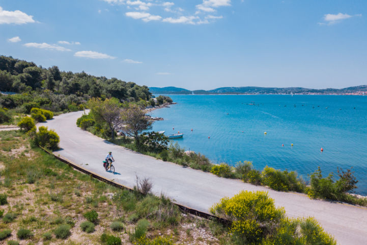
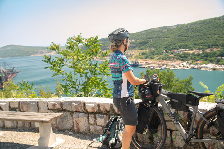
Es gibt viele Dinge zu sehen, wenn man an der montenegrinischen Küste entlang radelt. Die Bucht von Kotor ist ein wahrer Schatz und sicherlich einer der Höhepunkte der gesamten Route. Die kleine runde Insel Mamula, die den Eingang zur Bucht bewacht, wurde im 19. Jahrhundert vom österreichischen General Lazar Mamula befestigt. Vorbei an der Stadt Herceg Novi mit ihrem sehr mediterranen Amphitheater und kleinen, mit Sonnenschirmen gesäumten Stränden gelangt man in den ersten von zwei Abschnitten der Kotor-Bucht. In den tiefsten Tiefen der Bucht befindet sich die Stadt Kotor. Es handelt sich um die mit am besten erhaltenen mittelalterlichen Siedlungen in diesem Teil des Mittelmeers.

Die Website der nationalen Organisation für Tourismus bietet Handbücher, Karten und GPS-Tracks für das landesweite Netz an On- und Offroad-Tracks für Radfahrer.
[email protected] 00382 (0)77 100 001
Explore the newly updated EuroVelo 8 - Mediterranean Route Handbook! Cycle from Spain's sun-kissed coast to Cyprus's enchanting shores, passing through France, Croatia, and more. This 83-page guide offers maps, safety tips, events, and a mini dictionary. Get your copy by donating to EuroVelo and su…

This is the journey of two friends leaving their desk jobs for some months to discover the beauty of the Balkans and South Europe on two wheels. Corina and Georg set off from Vienna and cycled 7,000 kilometres until Alexandroupoli in Greece and back, crossing 11 countries in 150 days.

ECF Board Member Sidsel Birk Hjuler recently cycled along EuroVelo 8 - Mediterranean Route from Athens to Lisbon. In this very special feature, she shares her feelings and thoughts on bike travelling and the encounters on the way.