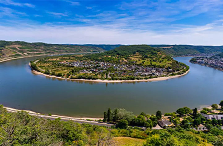
EuroVelo 15 Rheinradweg

Von Basel durch das Elsass und die Weinbauregion Baden nach Karlsruhe
Contains only parts of the stage which are either developed, developed with signs or certified – i.e. sections that are ready to cycle.
Your contribution helps towards keeping these official GPX tracks up-to-date and freely available to download.
Disclaimer

While ECF and National EuroVelo Coordination Centers and Coordinators (NECC/Cs) make every effort to ensure the tracks and their levels of development are both current and accurate, errors or outdated information can occur. The user is fully responsible for his or her own safety when making use of the tracks and for following national traffic rules and signing. Please download and read the complete disclaimer before using the tracks.

Von der Schweizer Grenze kommend bildet der Rhein den Grenzfluss zwischen Frankreich und Deutschland. Auf fast 200 Kilometern folgt der Rheinradweg den beiden Ufern entlang von Naturschutzgebieten und Wasserkraftwerken, malerischen Dörfern und Straßburg - einer der Hauptstädte Europas - bevor er in die deutsche Stadt Karlsruhe einmündet. Auf der französischen Seite ist die Route durchzogen von einer Schleuse und typischen elsässischen Dörfern mit charakteristischen Kirchen. Auf deutscher Seite führt EuroVelo 15 durch das Markgräfler Land, ein bekanntes Weinanbaugebiet, und Rastatt, eine Stadt mit prächtigen Barockdenkmälern. Mehrere gesicherte Übergänge ermöglichen die Überquerung des Rheins, um die beiden französischen und deutschen Varianten der Eurovélo 15 miteinander zu verbinden: die Radwegbrücken in Huningue, Chalampé, Straßburg (3 Brücken) und Gambsheim sowie die Fähren in Rhinau, Drusenheim und Seltz.

POIs-EV15-19.jpg
.
Etappen
Länder

Legend

Development status
  • Certified Section of at least 300 km that has successfully undergone the certification process in line with ECF’s European Certification Standard. It is the highest quality level on the EuroVelo network
  • Developed with EuroVelo signs Developed route (see category below) with continuous signing along the route, incorporating EuroVelo route information panels.
  • Developed Route developed for cyclists and signed in line with the respective national standard (i.e. it is part of a local, regional or national cycle network). There must also be a website providing information to users. Developed route can be heterogeneous in terms of infrastructure: type of cycling infrastructure, surface, width, gradients, etc
  • Under development Route containing sections that require further development (e.g. stretches on public highways with high levels of traffic). Cyclists are advised to use public transportation to skip these non-developed stretches.
  • Planning Undeveloped route with no detailed information publicly available on the Internet. The itinerary communicated is a proposal for the best possible option currently available. It may also contain dangerous sections. Cyclists are advised to use public transportation to skip these non-developed stretches.
  • Public transport link

Markers

  • Naturerbe
  • UNESCO-Weltkulturerbe
  • Kulturelles Erbe
  • Kulinarische Köstlichkeiten
  • Maritime Heritage / The Rhine / The Meuse
  • Other Point of Interest
  • Bus station
  • Train station
  • Mobility info center