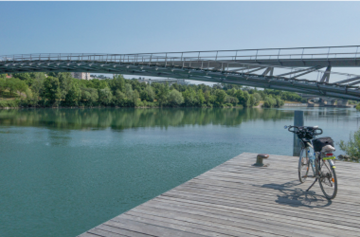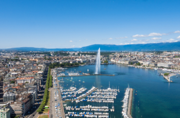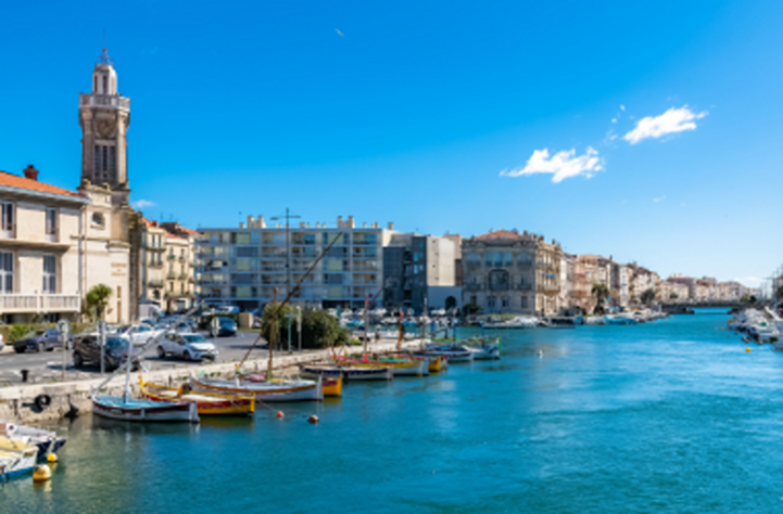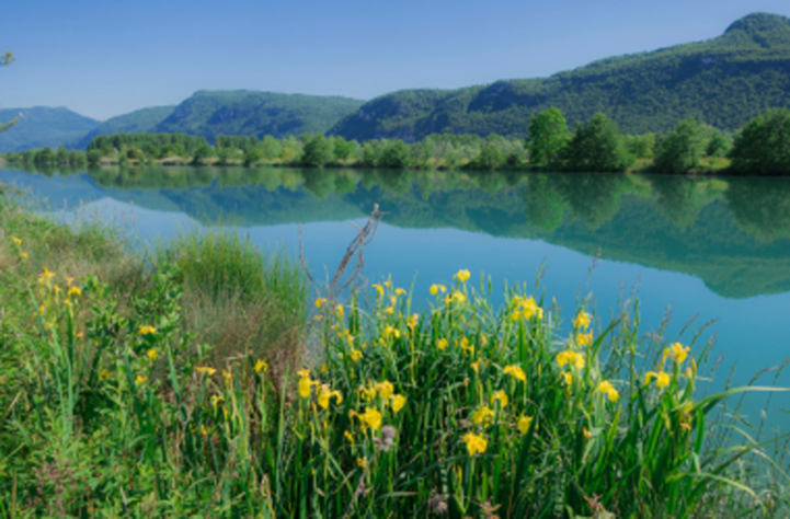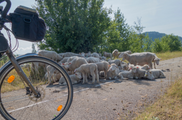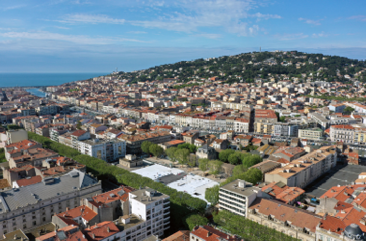
Von den Alpen bis ans Mittelmeer folgt der EuroVelo 17 – Rhone Radweg (ViaRhôna) dem Fluss Rhône auf einer historisch geprägten Reise von der gallo-römischen Zeit bis heute. Auf 815 km entdecken Radfahrer eine vom Fluss geformte Landschaft, belebt durch Begegnungen mit Handwerkern, Erzeugern und anderen Radfahrern. Die Route führt durch die wilde Landschaften Savoyens, das antike römische Erbe Lyons, die dramatischen Schluchten der Ardèche und die unberührte Camargue. Mehr als ein Radweg ist sie eine Entdeckungsreise durch 2.000 Jahre Kultur, Natur und Genuss – von den Trüffeln des Bugey über die berühmten Weine des Rhônetals bis zu den Stieren der Camargue. Mit Abstechern und Aktivitäten entlang der Strecke lädt die ViaRhôna zum Erkunden, Entdecken und Teilen von Erinnerungen ein, egal ob Sie alleine, mit der Familie oder mit Freunden unterwegs sind.

Laden Sie hier die vollständigen GPS-Tracks der EuroVelo 17 – Rhone Radweg in Frankreich (ViaRhôna) herunter und planen Sie Ihre nächste Fahrradtour!

Länder

Legend

Development status
  • Certified These sections were awarded the official EuroVelo Certification label, ensuring high-quality cycling conditions.They were surveyed in the field by EuroVelo Route Inspectors to respect minimum requirements for motorised traffic levels, surface quality, EuroVelo signage, and access to services as defined by the European Certification Standard (ECS) methodology. EuroVelo Certified routes are the best options for beginners!
  • Developed + Signed These sections offer generally good cycling conditions, with limited motorised traffic, rideable surfaces, and EuroVelo signs along the route. Developed routes with signs are suitable for most cyclists. However, short stretches with lower-quality conditions may occur, and it is recommended to bring a map or navigation app as signs can have defects.
  • Developed + Not Signed These sections offer generally good cycling conditions, with limited motorised traffic and rideable surfaces, but without EuroVelo signs. Developed routes without signs are suitable for most cyclists. However, short stretches with lower-quality conditions may occur, and it is warmly recommended to bring a map or navigation app.
  • Partially Developed + Signed Cycling is possible here, but conditions vary. Some stretches may have high motorised traffic or poor surfaces, even though EuroVelo signs are in place. Partially developed routes with signs are suitable for experienced cyclists only, and it is recommended to bring a map or navigation app and check national/regional websites for more information. ECF and National EuroVelo Coordination Centres are working on improvements.
  • Partially Developed + Not Signed Cycling is possible here, but conditions vary. Some stretches may have high motorised traffic or poor surfaces, and EuroVelo signs are not in place. Partially developed routes without signs are suitable for experienced cyclists only, and it is warmly recommended to bring a map or navigation app and check national/regional websites for more information. ECF and National EuroVelo Coordination Centres are working on improvements.
  • Undeveloped / Unknown These sections do not meet minimum requirements for motorised traffic levels or surface quality – or their conditions are currently unknown. They may include dangerous stretches. Cyclists choosing to cycle there should use a map or navigation app and check national/regional websites for more information. It is recommended to use public transport to skip these areas where possible.
  • Public transport link These sections include continuity across seas or rivers and undeveloped parts of the network that can be skipped with a reliable public transport connection allowing bicycle transport.

Markers

  • Naturerbe
  • UNESCO-Weltkulturerbe
  • Kulturelles Erbe
  • Kulinarische Köstlichkeiten
  • Martitimes Erbe / Der Rhein / Die Maas
  • Anderer Ort von Interesse
  • Service
  • Bushaltestelle
  • Bahnhof
  • Mobilitäts-Infozentrum

Nationale & Regionale Informationen

Réseau vélo et marche

Nationales EuroVelo-Koordinierungszentrum

Réseau Vélo et Marche ist ein Netzwerk lokaler Behörden, das sich für die Entwicklung der aktiven Mobilität in Frankreich einsetzt. Seit 2011 fungiert es als nationale Koordinierungsstelle für EuroVelo in Frankreich und überwacht die Entwicklung des europäischen Radwegenetzes auf nationaler Ebene.

Seite besuchen

France Vélo Tourisme

France Vélo Tourisme ist die französische Webseite für Radfernwege. Die Webseite verfügt über individuelle Seiten für alle nutzbaren EuroVelo-Routen, inklusive Karten, Sehenswürdigkeiten und anderen nützlichen Informationen.

Seite besuchen

Accueil Vélo

„Accueil Velo“ ist ein nationales Akkreditierungssystem, das eine hohe Qualität der Dienstleistungen für Radfahrer auf den französischen Radwegen garantiert. Sie finden hier Unterkünfte, Fahrradverleihe und -reparaturbetriebe, Restaurants, Fremdenverkehrsbüros und Ausflugsziele.

Seite besuchen

EuroVelo 17 / ViaRhôna

Als Bindeglied zwischen den Alpen und dem Mittelmeer, ermöglicht die ViaRhôna, der französische Teil der EuroVelo 17, es den Rhône mit dem Fahrrad zu erkunden. Diese 815 km lange Route, mit sehr geringer Höhendifferenz, folgt den Ufern des Rhône und durchquert 3 Regionen und 12 Departements. Die Strecke wurde zu 87% fertiggestellt und soll bis 2023 fertiggestellt werden.

Seite besuchen

Karten und Führer

EuroVelo 17: ViaRhôna [Bikeline Esterbauer]

Dieses Radtourenbuch beschreibt die Strecke der EuroVelo Route in der Schweiz ab Genf und in Frankreich (772 km). Perfektes Werkzeug, um Sie bei der Reisevorbereitung und unterwegs zu begleiten: präzise und sehr informative Karten im Maßstab 1:75.000, Höhen- und Streckenprofile, GPS-Tracks, Übernachtungs- und Serviceverzeichnis, LiveUpdate, Lenkertaschenformat, Spiralbindung, wetter- und reißfest. Ab November 2022 auch auf Französisch verfügbar.