EuroVelo 17Rhone Radweg

1.000 km lang
1 Europäische Meere
2 besuchte Länder
Contains only parts of the route which are either developed, developed with signs or certified – i.e. sections that are ready to cycle.
Your contribution helps towards keeping these official GPX tracks up-to-date and freely available to download.
Disclaimer

While ECF and National EuroVelo Coordination Centers and Coordinators (NECC/Cs) make every effort to ensure the tracks and their levels of development are both current and accurate, errors or outdated information can occur. The user is fully responsible for his or her own safety when making use of the tracks and for following national traffic rules and signing. Please download and read the complete disclaimer before using the tracks.

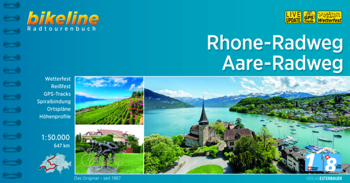
Das charmante Alpendorf Andermatt in der Schweiz ist nicht nur Ausgangspunkt von EuroVelo 15, sondern markiert auch den Beginn von EuroVelo 17 - Rhone-Radweg.

Dem Lauf der Rhone folgend endet die Route über 1.050 Kilometer später an der schönen französischen Mittelmeerküste. Die kürzeste EuroVelo-Route verbindet die Alpen, den Genfer See, die Lavendelfelder der Provence und die wilden weißen Pferde der Camargue und bietet eine überraschende Vielfalt an Kulturen, Landschaften und Erfahrungen.

Karten und Führer

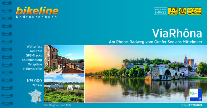
EuroVelo 17: ViaRhôna [Bikeline Esterbauer]

Dieses Radtourenbuch beschreibt die Strecke der EuroVelo Route in der Schweiz ab Genf und in Frankreich (772 km). Perfektes Werkzeug, um Sie bei der Reisevorbereitung und unterwegs zu begleiten: präzise und sehr informative Karten im Maßstab 1:75.000, Höhen- und Streckenprofile, GPS-Tracks, Übernachtungs- und Serviceverzeichnis, LiveUpdate, Lenkertaschenformat, Spiralbindung, wetter- und reißfest. Ab November 2022 auch auf Französisch verfügbar.